Palmares:
Cartography, History and Politics of a Territory
DOI:
https://doi.org/10.9771/aa.v0i64.43622Keywords:
Palmares, Historiography, Cartography, TerritoryAbstract
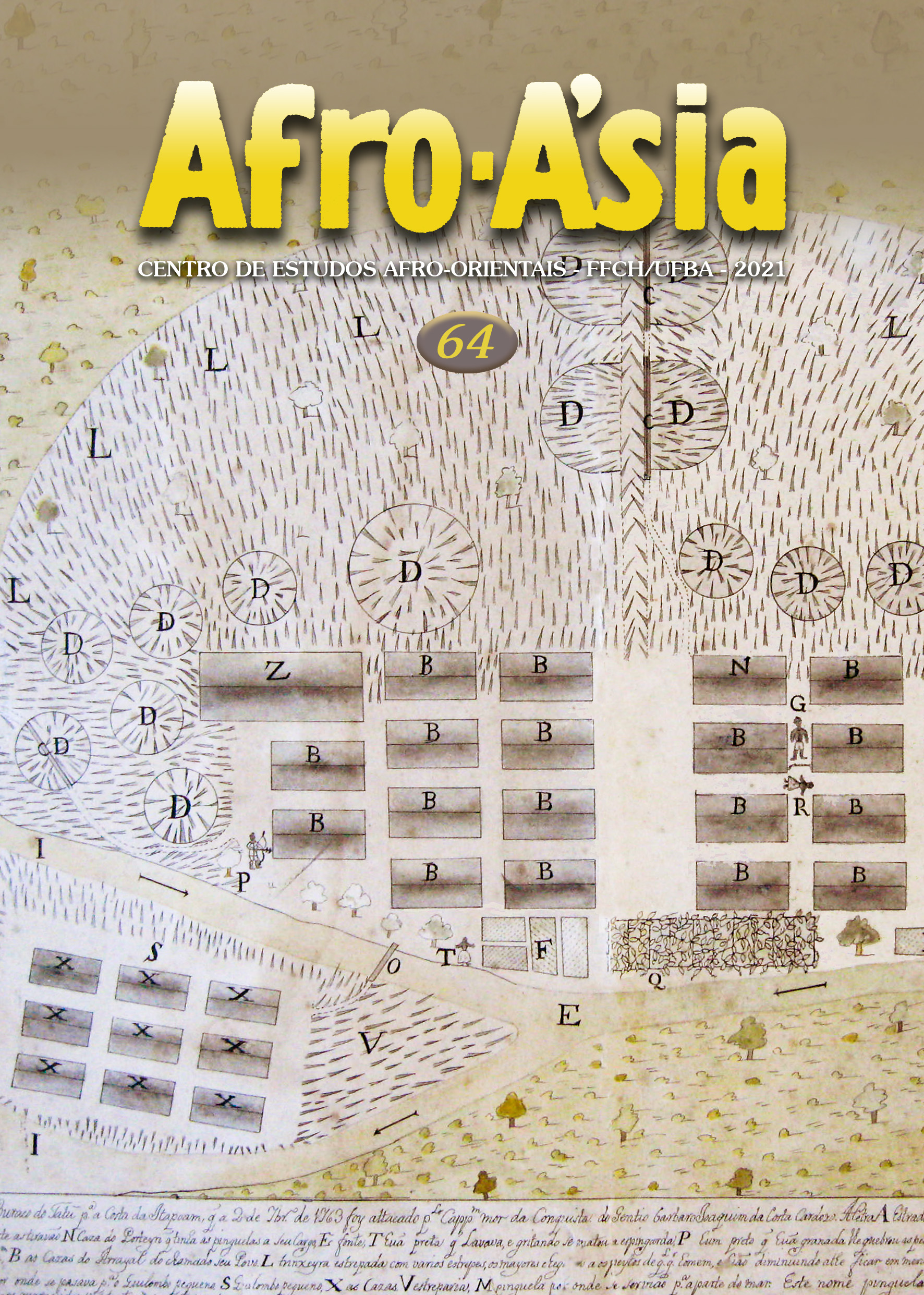
This article analyzes cartographic representations of Palmares, the largest and longest-lived maroon settlement in the history of slavery in Brazil. Despite inconsistencies regarding their sources, the maps published in 1947 by Edison Carneiro and in 1971/73 by Décio Freitas were acritically reproduced in the subsequent historiography, serving as references in the 1985 creation of the Serra da Barriga heritage site, as well as for archaeological excavations carried out in the 90s. Based on reinterpretations of primary sources on Palmares and on new maps drawn by Felipe Damasceno in 2018, the article critically examines the continuous occupation of the Palmares region and the political meanings of its territorial dimensions, particularly in the late 1670s and in the period between 1680 and 1694.
Downloads
Downloads
Published
How to Cite
Issue
Section
License
Copyright (c) 2021 Silvia Hunold Lara

This work is licensed under a Creative Commons Attribution 4.0 International License.
You are entitled to freely share, adapt and use the work herein published for any legitimate purpose as long as authorship and the original source are acknowledged.